CycloRoute
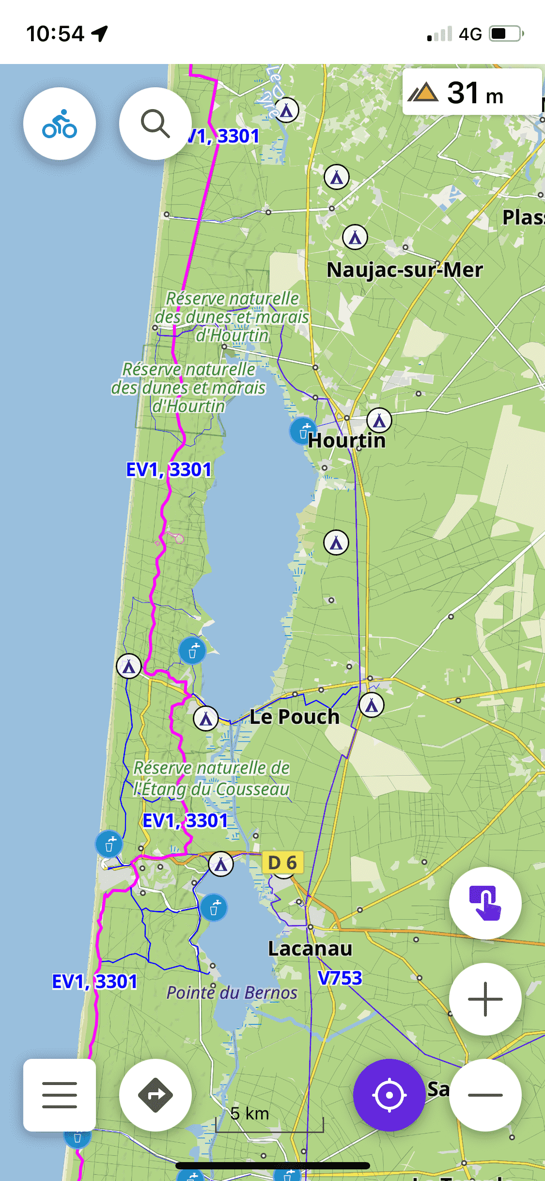
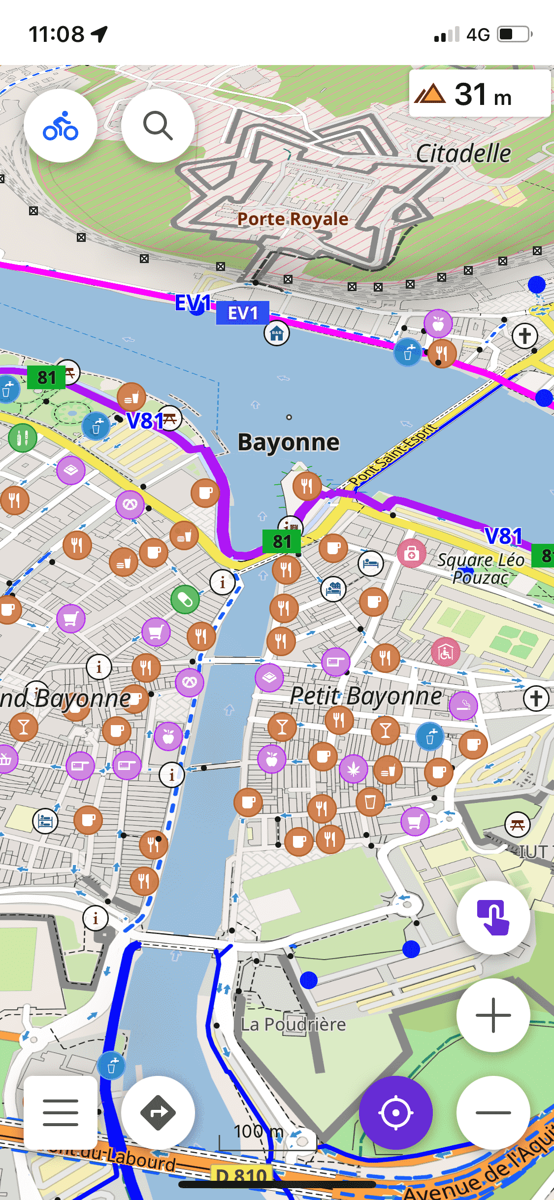
A map style for OsmAnd, focused on the practice of cycling and cycloTouring
(Last update 10/05/2024)
Notable features over standard styles :
-
Inspired by CyclOSM :
- More legible and visible cycle paths
- Highlighted useful/interesting POIs
- Opaque color for routes
-
Inspired by Mapy.cz :
- Land and Water Color
- Land and Water Color
-
Additional setting:
- POI for cycle tourism
- To hide land use logos
-
Even more ;-)
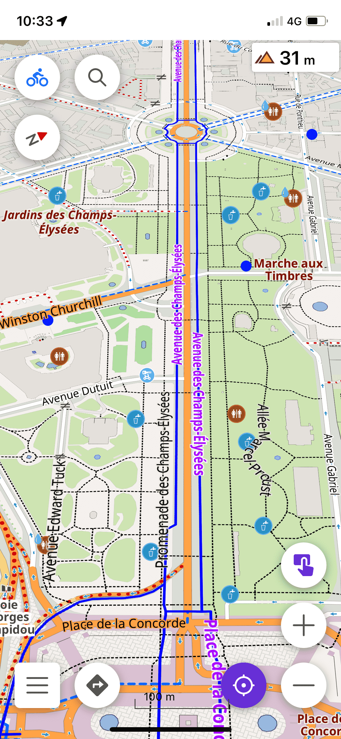
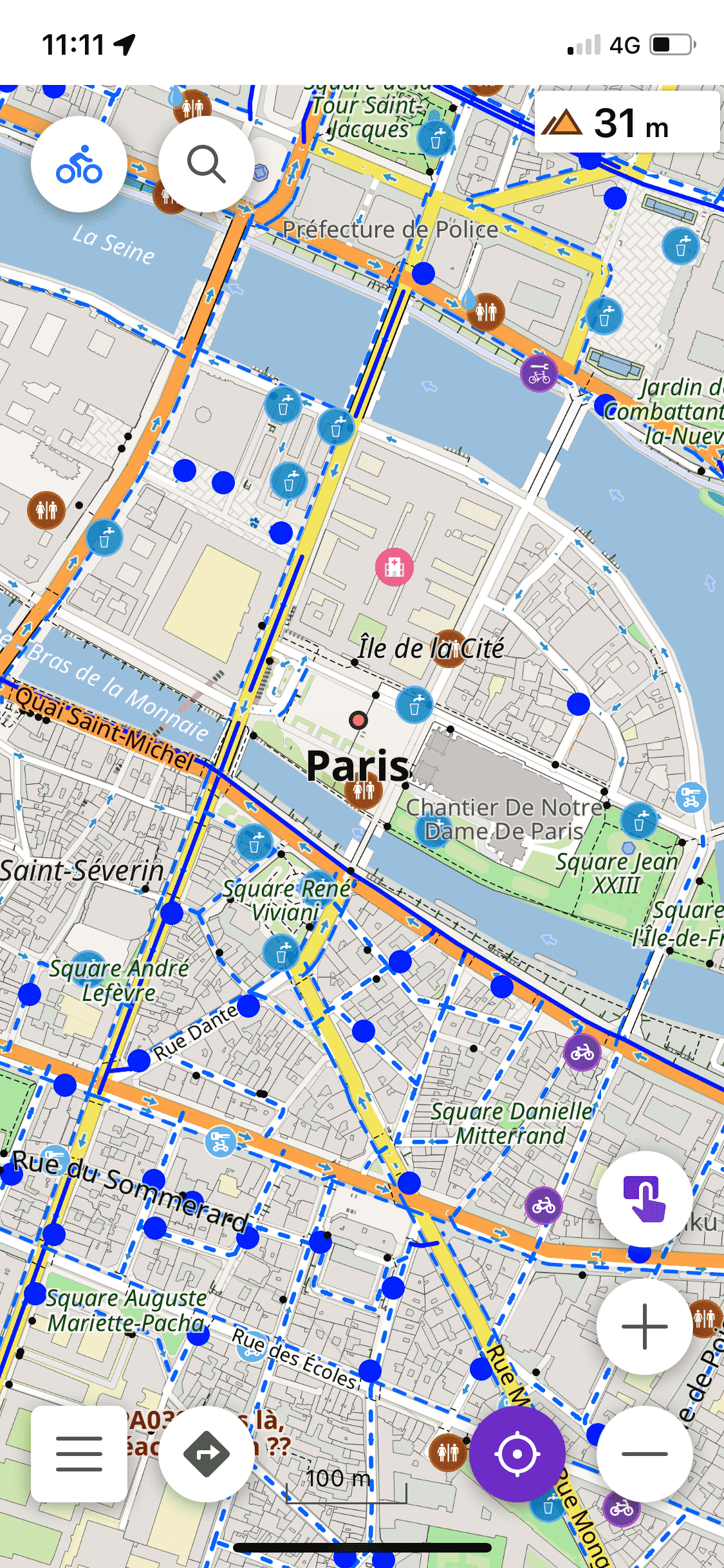
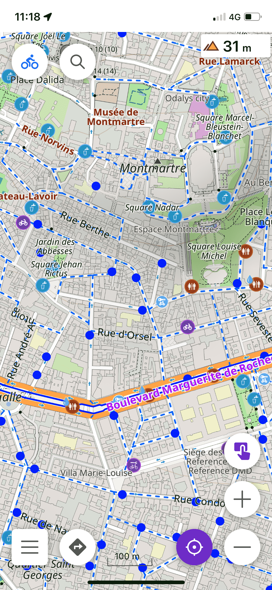
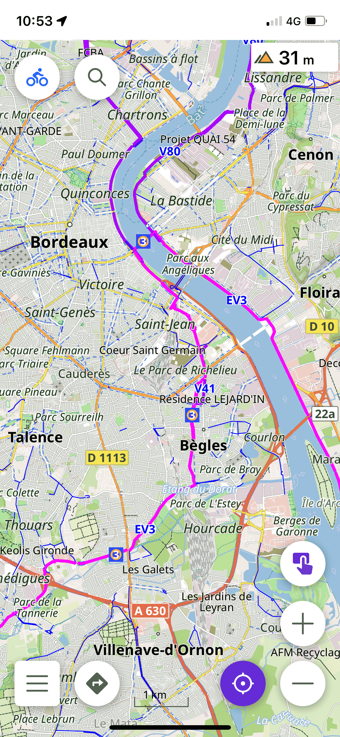
Screenshots
Cycling mode
CycloTouring mode
Instructions d'installation
- Download this file
First installation |
|---|
|
Update of the rendering |
|---|
|
If you want to use it for cyclotourism |
|
The screen n will only display useful POIs for Cyclotourism in addition to those for cycling. |
Légende
Legend of the CyclOSM basemap that we integrated into our style
Cycling infrastructure |
|
| Separated cycle path | |
| Greenway | |
| Cycle path on this side of the road | |
| Cycle lane on this side of the road | |
| Shared lane (with bus or motor vehicle) on this side of the road Road shoulder open to bicycles |
|
Cycle routes |
|
| International cycle route | |
| National cycle route | |
| Regional cycle route | |
| Local cycle route | |
| MTB route | |
Specific bike equipment |
|
| Bicycle repair station | |
| Compressed air | |
| Gas station with compressed air | |
| Bike parking | |
| Shared parking for bikes and motorbikes | |
| Bike rental | |
| Bike shop | |
